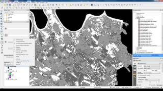
How to do automated unsupervised classification of Landsat 8 data in QGIS HD
Learn how to clip Landsat 8 image. Yaroslav for Learn GIS brings you remote sensing tutorials. Learn GIS channel is a project that tries to educate people to the usefulness of GIS softwares. Buy our Geoprocessing using Python in ArcGIS Pro course on udemy: https://www.udemy.com/learn-to-use-python-in-arcgis-pro/?couponCode=YOUTUBE_20 Gumroad: https://gumroad.com/learngis Patreon: https://www.patreon.com/FreeGISTeacher Facebook: https://www.facebook.com/DigitalMaps/ Twitter: https://twitter.com/freeGISteacher Wordpress: https://freeetutorials.wordpress.com/
 HD
HD HD
HD HD
HD HD
HD
 HD
HD HD
HD HD
HD HD
HD HD
HD![How to Make Image Files, Write CD/DVD, Make Data Backup Using Nero 7/8/9/10/11/17 [Hindi]](https://i.ytimg.com/vi/gawofKUtq0c/mqdefault.jpg) HD
HD HD
HD HD
HD HD
HD HD
HD HD
HD HD
HD HD
HD HD
HD HD
HD HD
HD HD
HD HD
HD HD
HD![Stock Analysis - How to Fill the Excel Sheet? | Part II [HINDI]](https://i.ytimg.com/vi/sQE-BMCLR2Y/mqdefault.jpg) HD
HD HD
HD HD
HD HD
HD HD
HD HD
HD
 HD
HD